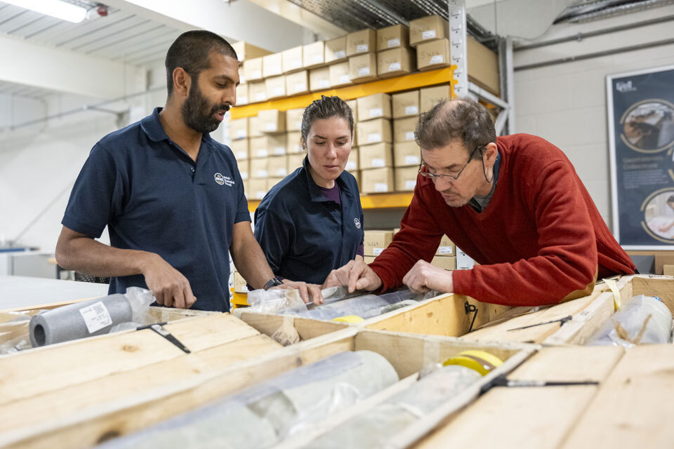
At over 1000 km long and 40 km deep, the Great Glen Fault is the largest geological fault structure in the UK. As part of ground investigations for SSE Renewables’ proposed pumped hydro storage scheme at the Coire Glas site in the Highlands, deep drill core was extracted from beneath the Great Glen.
The new drill core offers the tantalising prospect of furthering our understanding of how these fault systems work and how fluids emerging from deep within the Earth’s crust change the properties of the rock.
In total, over 1500 m of core were recovered, reaching depths of 650 m below ground level. The core will be stored and made available for future research purposes at the BGS National Geological Repository, a bespoke facility that is publicly funded through UKRI and houses the UK’s foremost collection of geological samples. This will enable long-term preservation of the core, allowing scientists to study and attempt to unlock its secrets long into the future.
|
|

We have updated our BGS Geology 50K, 10K and 25K maps. These geological maps provide crucial information like rock types and faults, forming a valuable resource for a wide range of uses, such as infrastructure planning and development and environmental assessment.
|
|

The new strategy recognises the UK’s need to further develop links with international partners, increase domestic production where feasible and invest in the circular economy. Accurate, real-time minerals data will be essential to support these objectives.
|
|
|
News highlights
Funding awarded for UK geological storage research
Funding has been awarded by the Engineering and Physical Sciences Research Council for a two-year project, ‘Maximising the UK geological storage resource’. The findings will inform investment decisions and policy development, optimising use of the subsurface in the UK.
|

Research highlights significant earthquake potential in Indonesia’s capital city
A new paper has called attention to a fault cutting through the subsurface of Jakarta, which has the potential to generate a damaging earthquake of high magnitude.
Jakarta is one of the largest cities in the world, with a population exceeding 30 million in the metropolitan area. Research by BGS and Indonesian colleagues shows that this fault could generate a magnitude 6.5 earthquake, which would expose a large number of people as well as significantly important economic infrastructure to strong ground shaking.
|
First distributed acoustic sensing survey completed at UK Geoenergy Observatory
Researchers working at the UK Geoenergy Observatory in Cheshire have shown that distributed acoustic sensing (DAS) has the potential to detect subsurface temperature change during geothermal experiments. The research, which was conducted by scientists from the University of Leeds as part of the Natural Environment Research Council-funded SmartRes project, used a high-resolution, fibre-optic DAS sensing system installed in boreholes at the site.
|
On the blog
How the geology on our doorstep can help inform offshore infrastructure design
In 2023, BGS entered into a data-sharing partnership with Ossian to enhance understanding of the seabed and shallow subsurface conditions across the United Kingdom continental shelf. As part of this project the team recently embarked on fieldwork examining onshore glacial deposits, meltwater channels and till sequences. This allowed geoscientists to explore similarities to geological features found onshore and discuss the broader implications for interpreting offshore survey data.
|
 |
|
World Cities Day: the geological story of our cities
There are countless ways in which geology influences the evolution of our towns and cities. Urban geoscience helps us to understand the geology and both the natural and human-made features beneath our cities, revealing the hidden stories beneath the surface.
|
|
|
|
|